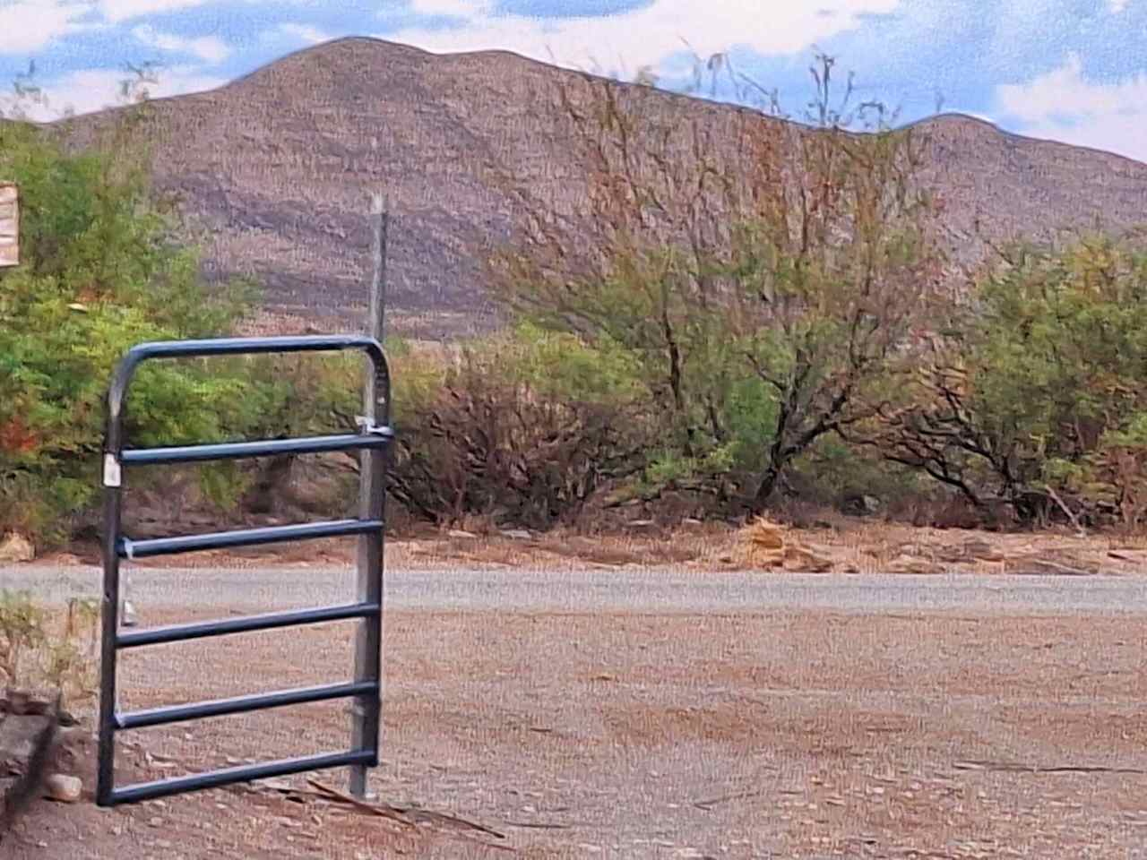
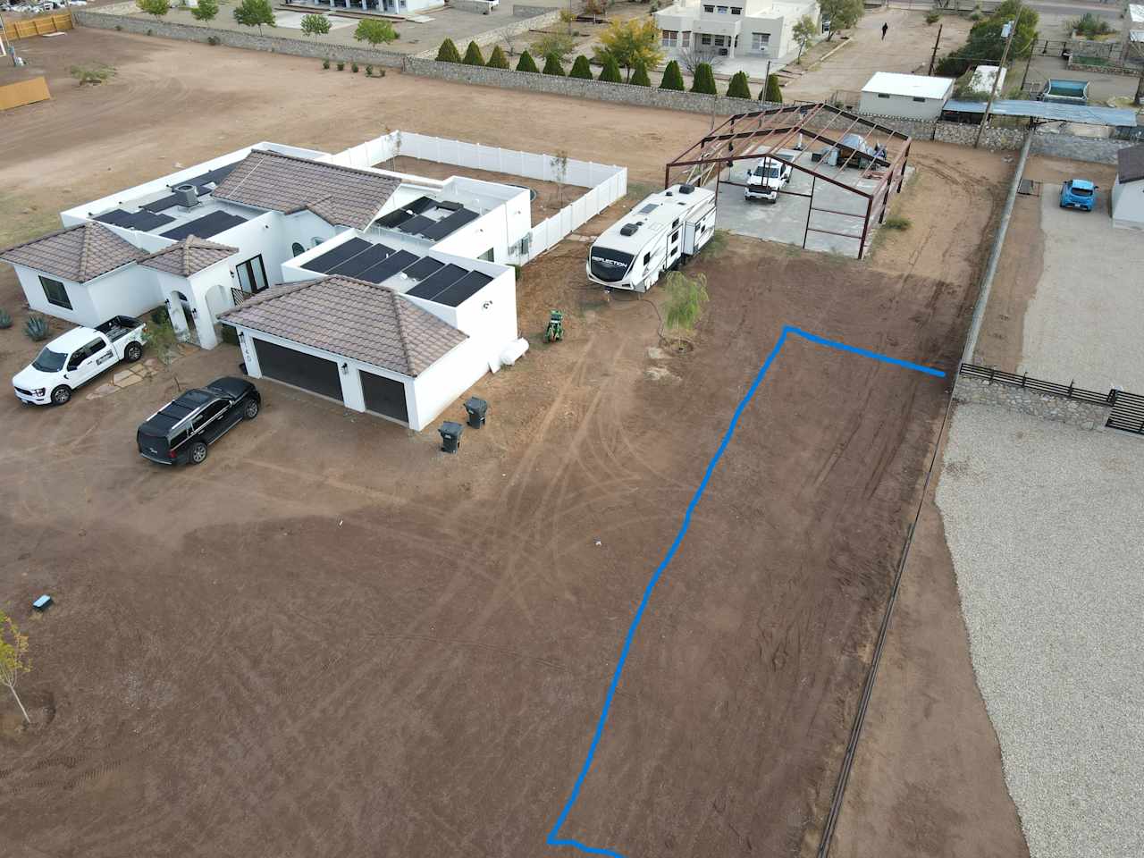
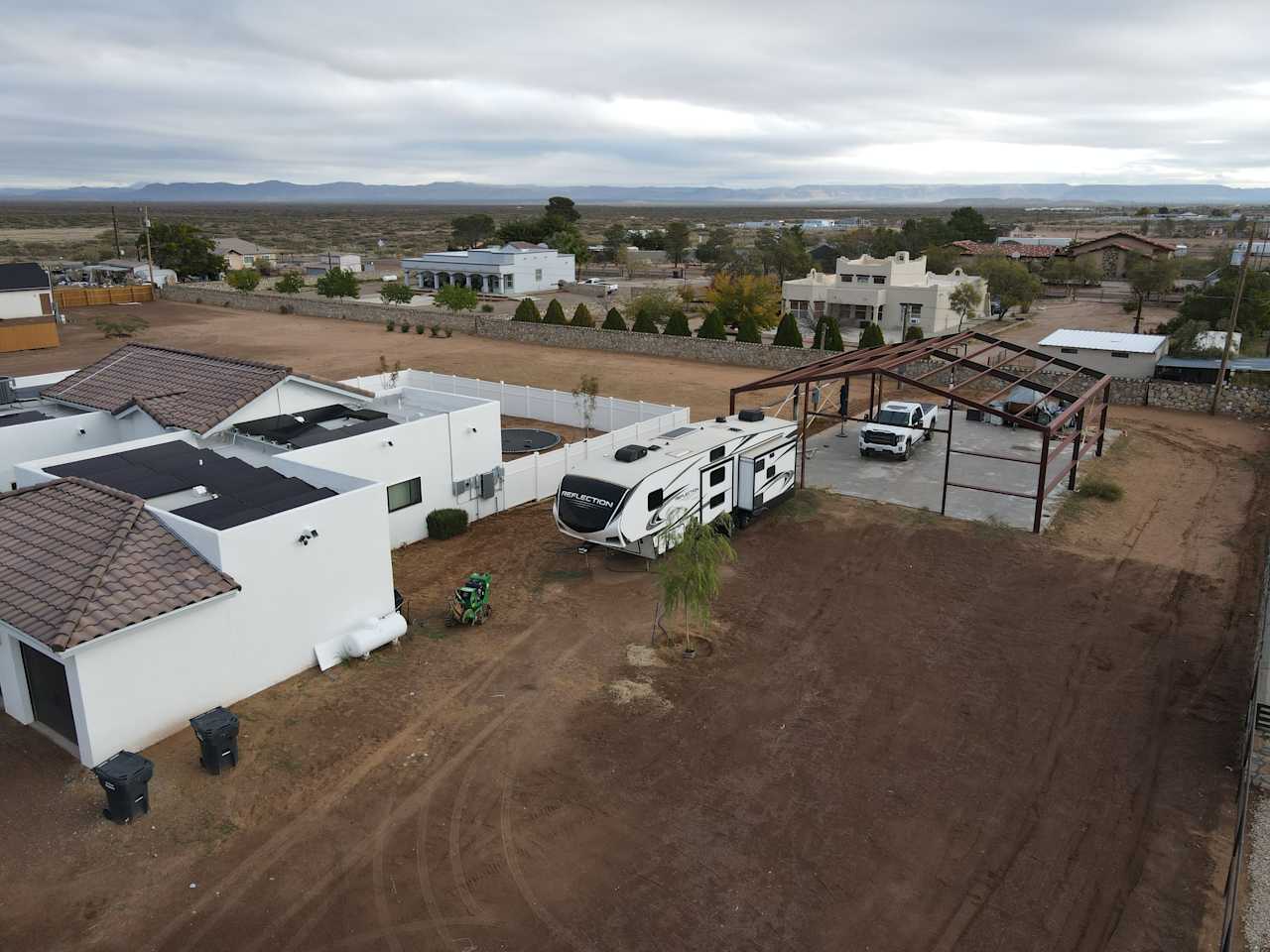
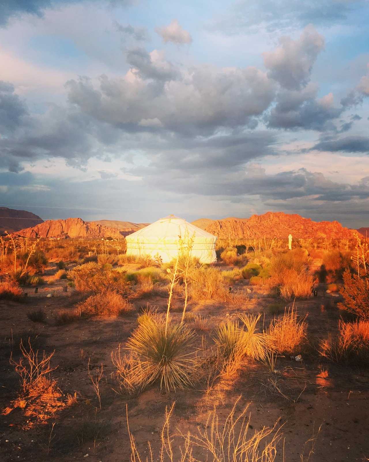
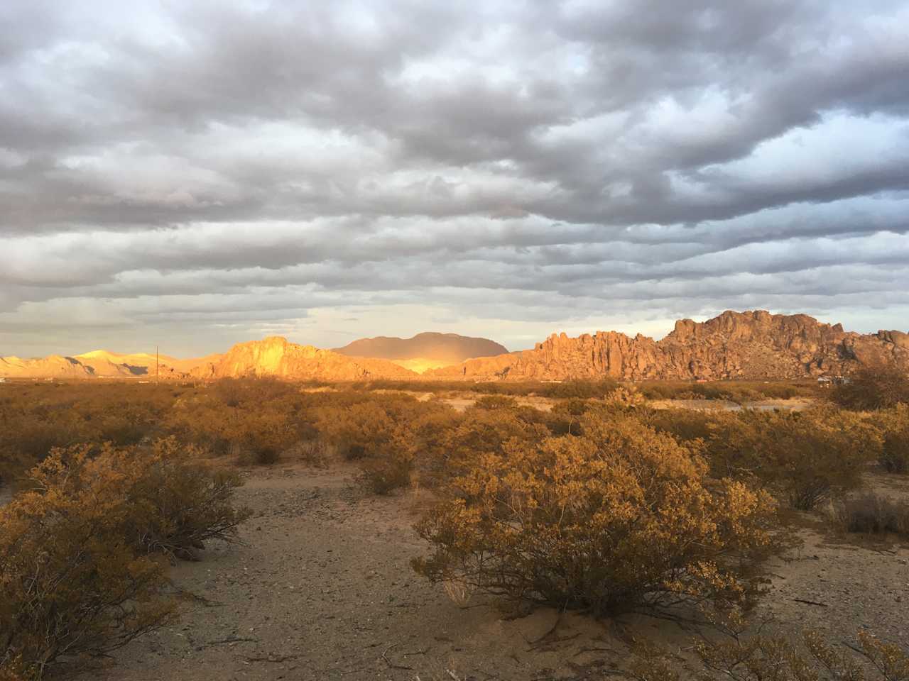
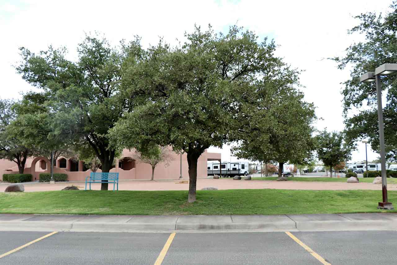
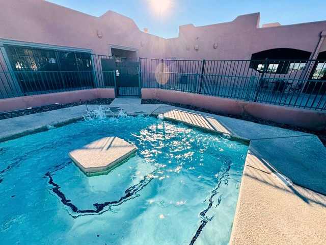
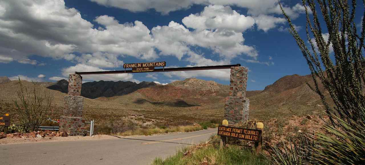
Franklin Mountains RV Area Campground
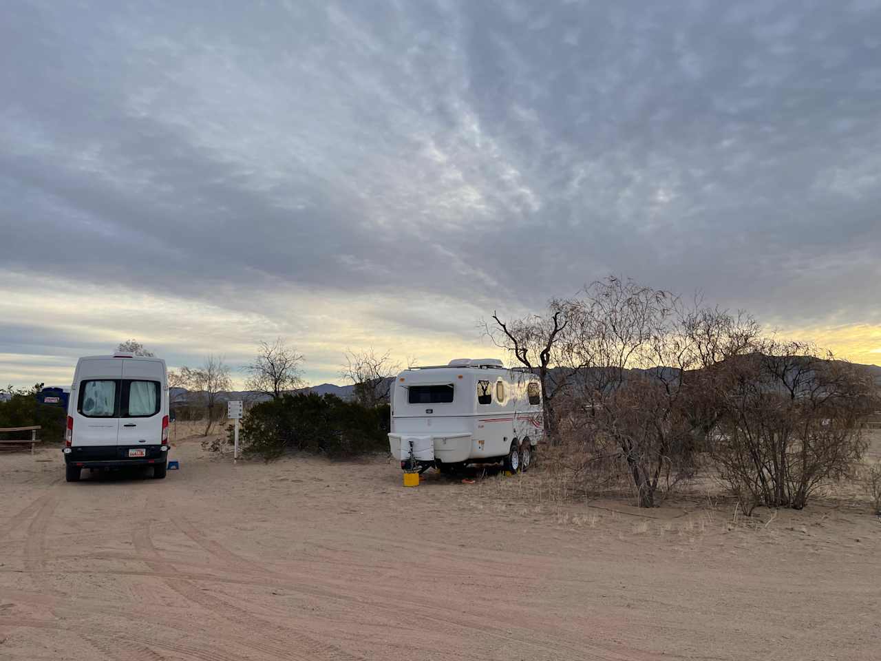
It’s all about that #vanlife at Franklin Mountains RV Area Campground!
Available campgrounds nearby
Top-rated for location, privacy, and amenities near Franklin Mountains State Park
More to explore nearby
Your guide to camping in Franklin Mountains RV Area Campground
Overview
Biking
Mountain bikers flock from far and wide to enjoy the trails of Franklin Mountains State Park. Whether you’re an experienced rider, or a first-timer, GeoBetty Tours offer guided rides and beginner clinics, and are a great opportunity to see the best routes in the park. Or if you’re looking to hit the trail alone, this map will tell you just where to go for the best biking.
Hiking
Franklin Mountains State Park offers over 100 miles of trails across 27,000 acres of rugged terrain. This is a desert climate, so bring plenty of water, and try not to hike alone or without a cell phone. The Aztec Cave Trail is a fun .7 mile out and back hike that carries you through the desert to the mouth of a cave, offering scenic overlooks along the way.
Horseback riding
If you prefer horses to hiking or biking, Franklin Mountains State Park has five distinct, and equally impressive horseback riding trails to explore. Beginners can get a taste of the open, desert landscape on El Paso Tin Mines Trail, and more experienced riders will enjoy the steep, rocky climbs of Mundy’s Gap, and the stunning views from Indian Peak Trail. Horseback riders are advised to get out early; the sun is a force out here, so pack plenty of water for humans and horses alike. Head hereto learn more about the trails.
Climbing
The best spots for climbing at Franklin Mountains State Park are McKelligon Canyon and Tom Mays Unit. Head to Sneed’s Cory at Tom Mays Unit, a local favorite, for 22 top rope routes, or check out McKelligon Canyon’s Peacepipe Arroyo, featuring 7 top rope and trad routes, and up to 100-foot climbs. You’ll have to bring your own climbing equipment to Franklin Mountains State Park, and climbing at McKelligon Canyon is prohibited during nearby amphitheater shows, so plan ahead.
Top parks near Franklin Mountains RV Area Campground
Top cities near Franklin Mountains RV Area Campground
- Franklin Mountains RV Area Campground
