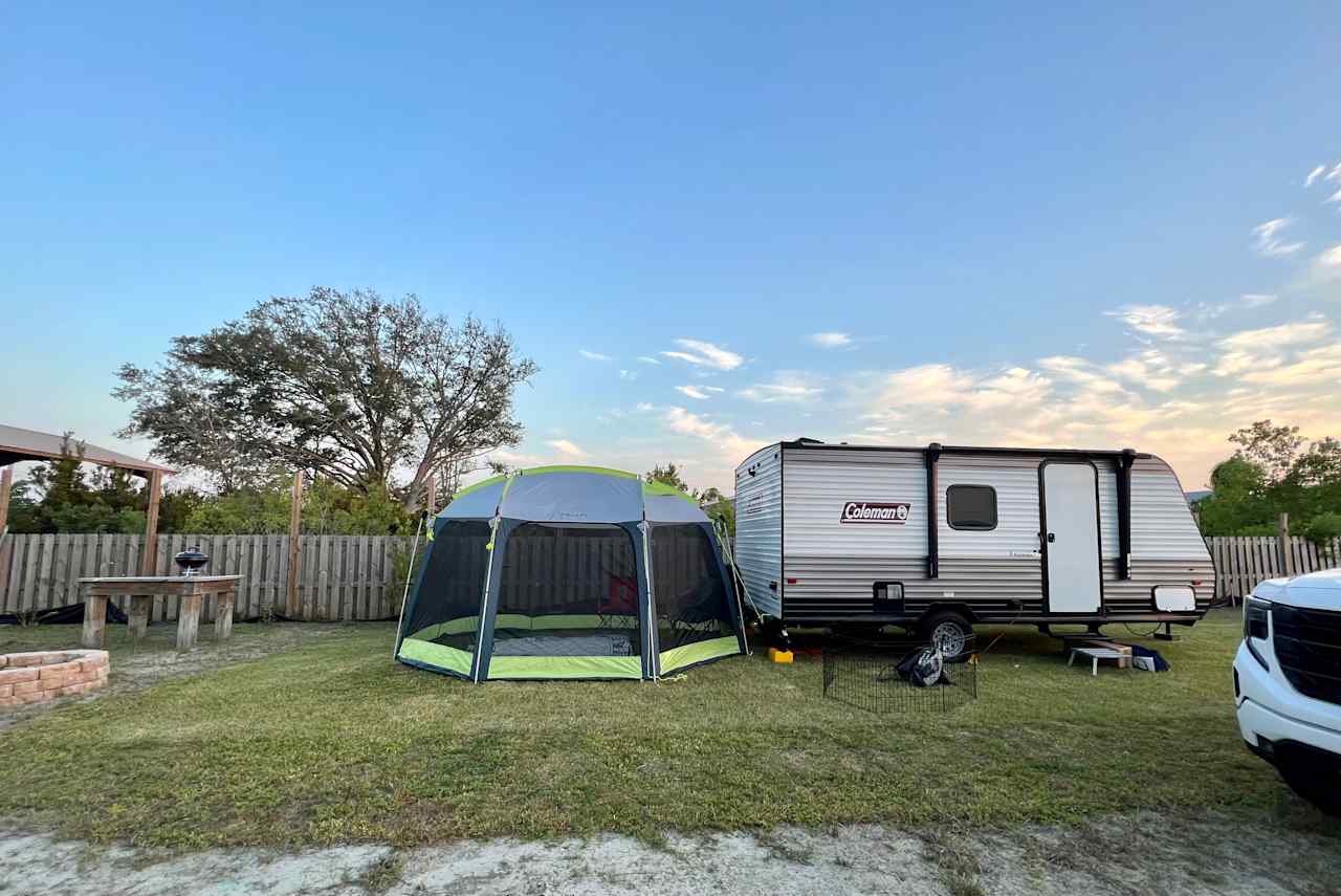
Camping near Panama City
White sand beaches and RV-friendly state parks make Panama City a go-to camping spot.
- Panama City
Popular camping styles for Panama City
Star Hosts in Panama City


Available this weekend

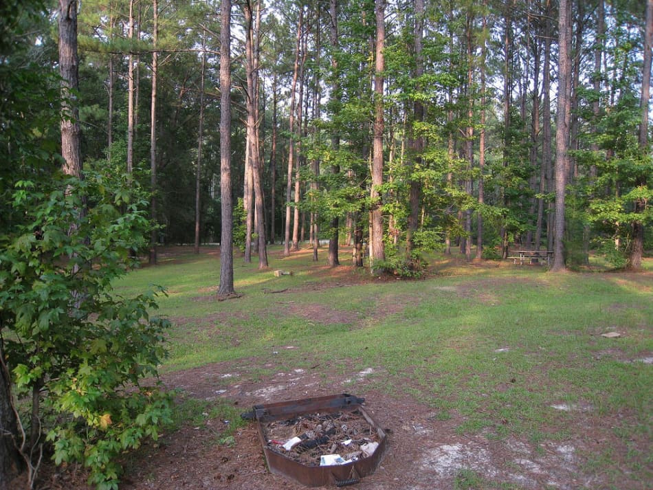
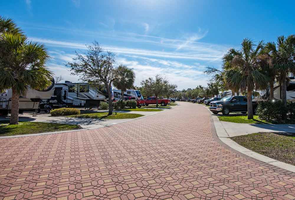
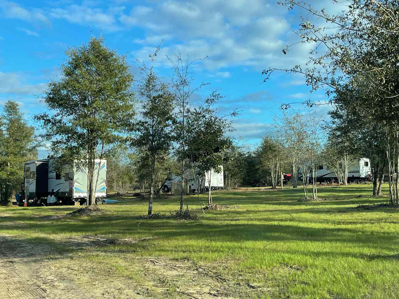
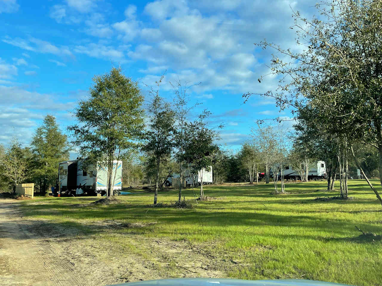
12 top campgrounds near Panama City


Under $50
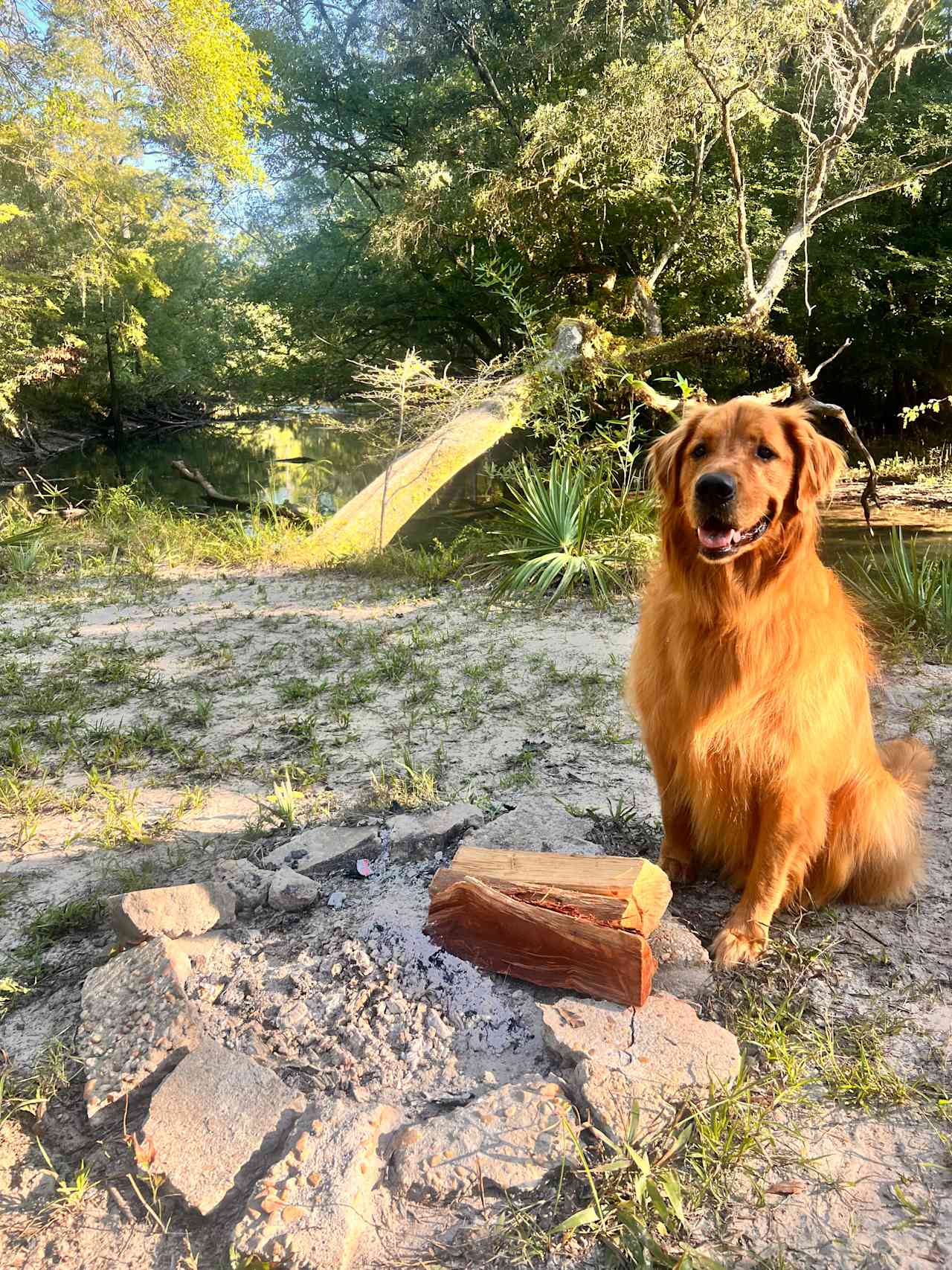
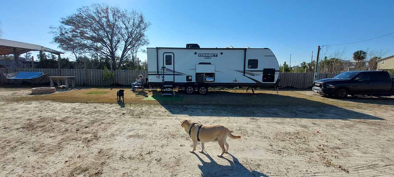
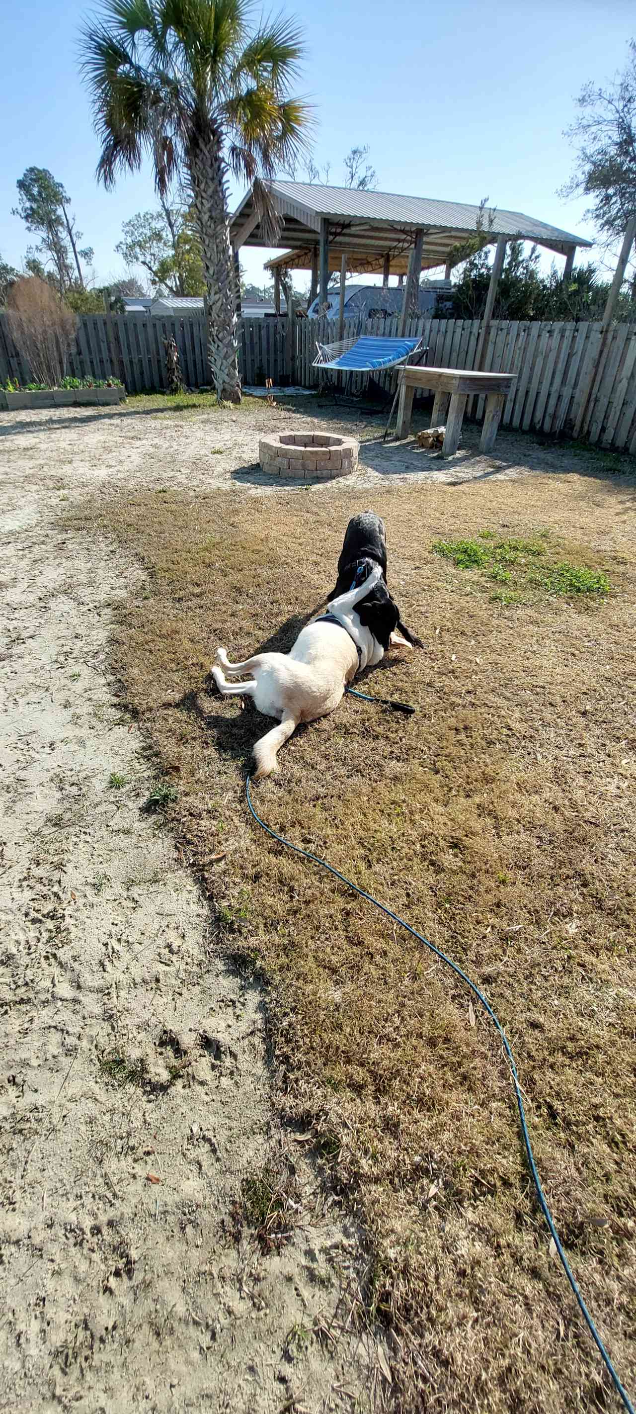
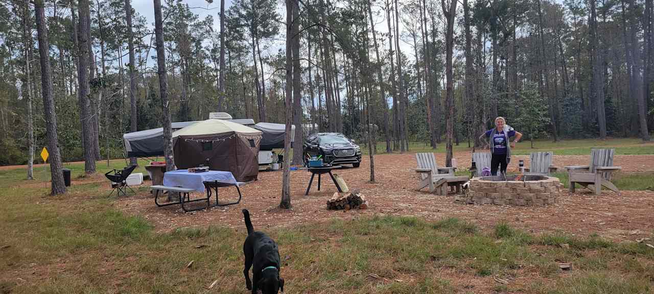
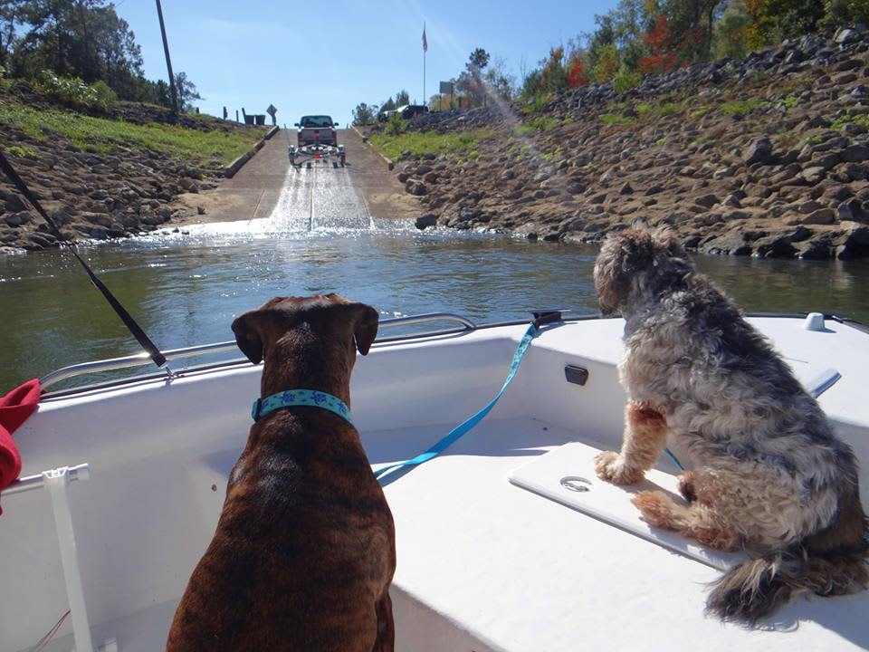
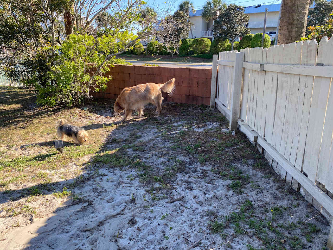
Dog-friendly getaways

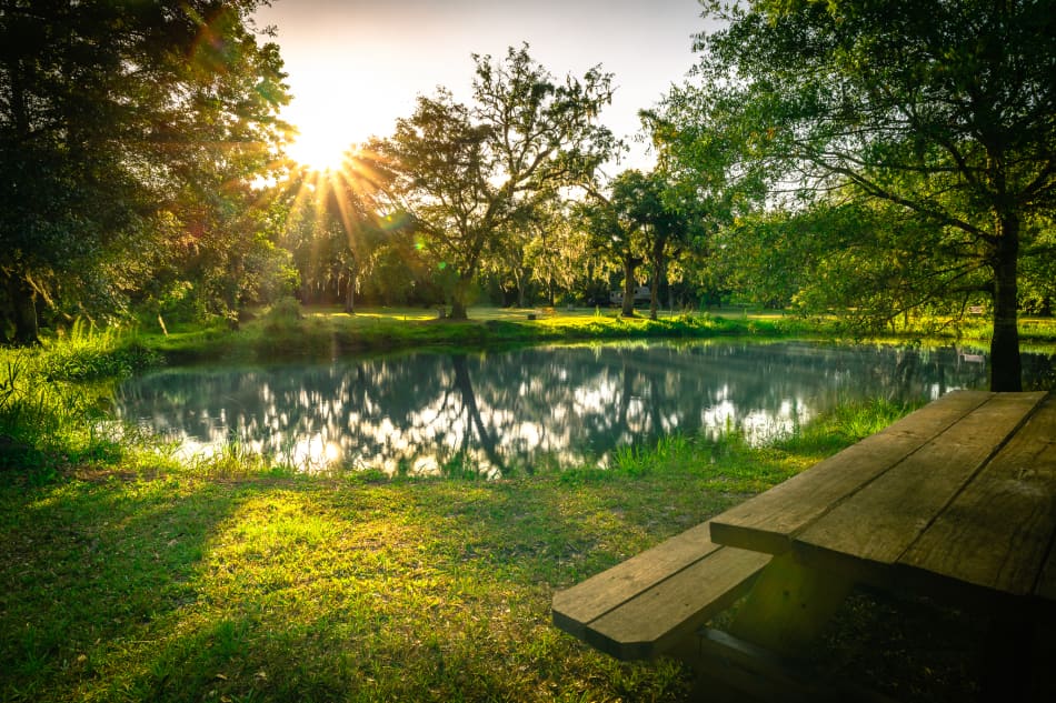
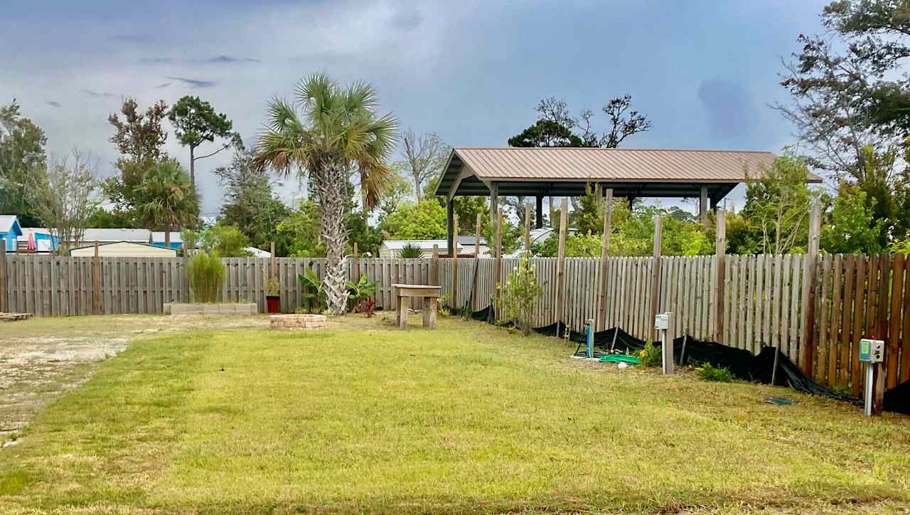
Nearby parks
Explore the area’s public lands.


Camping near Panama City guide
Overview
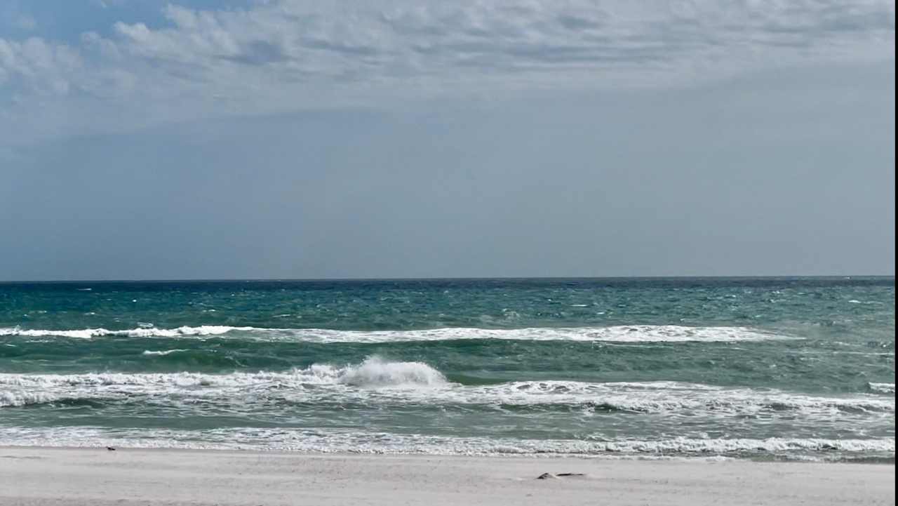
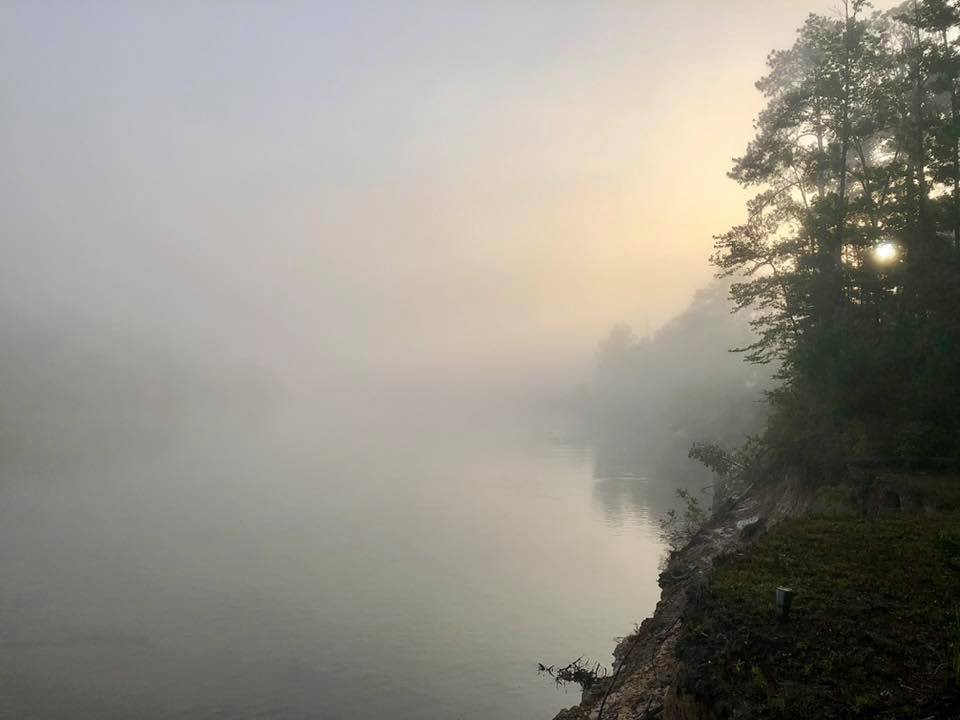
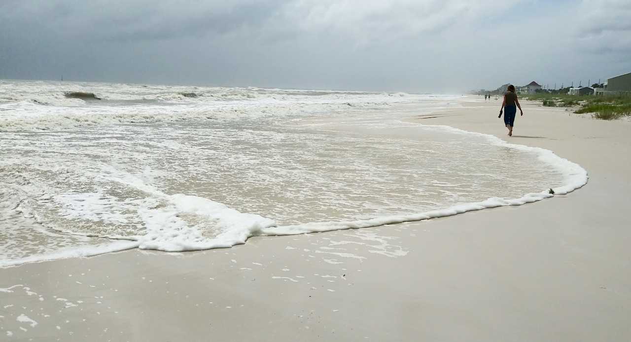
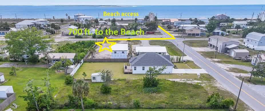
Panama City, Florida, is infamous for being a Spring Break destination. But like many Florida locales, Panama City has a breadth to offer beyond its association with rowdy coeds; in fact, this Florida Panhandle town is a gateway to a surprisingly large stretch of beaches and grassy natural areas that cater to both RV campers and tent campers. Plus, this part of Florida offers some of the most beautiful white sand beaches in the entire country—many of which aren’t very crowded, especially in the offseason.
Where to go
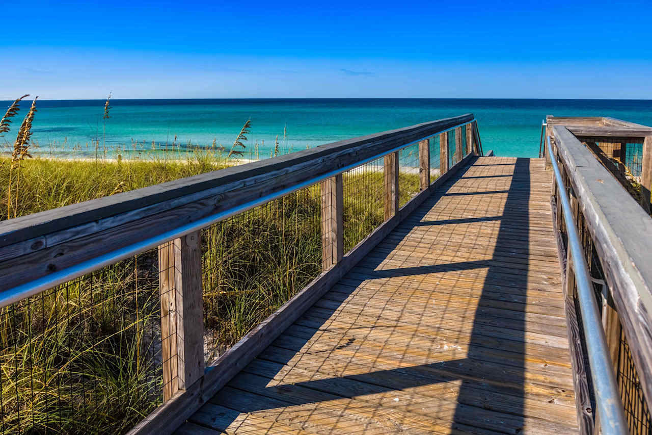
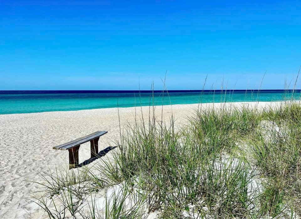
St. Andrews State Park
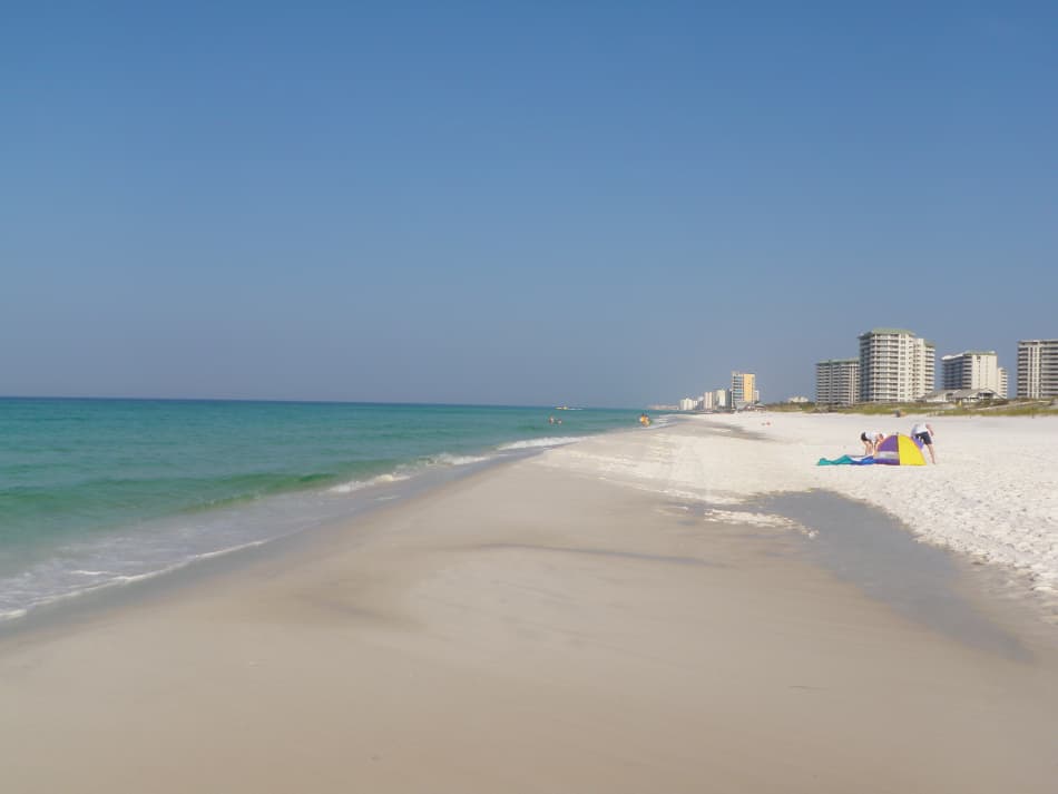
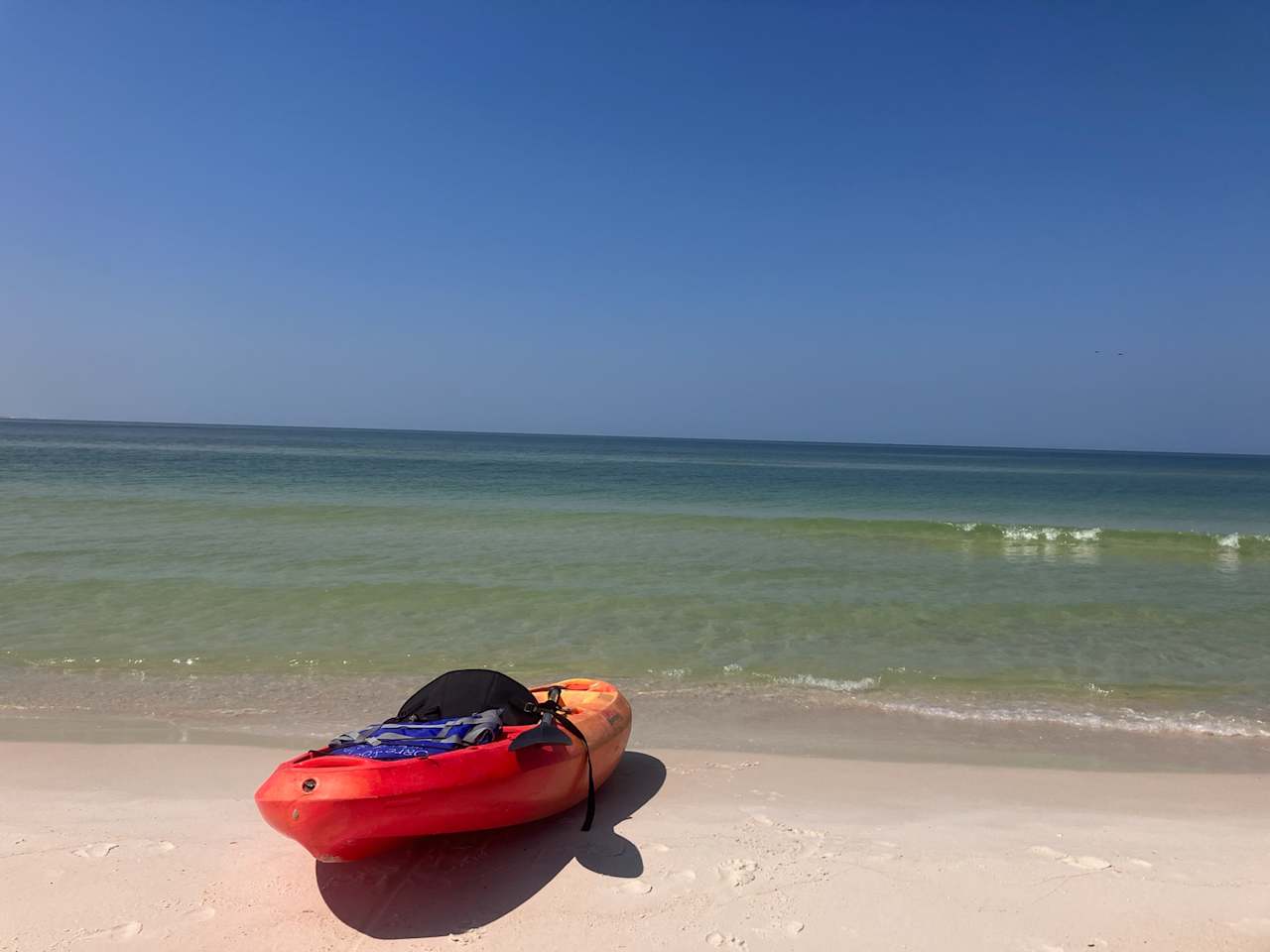
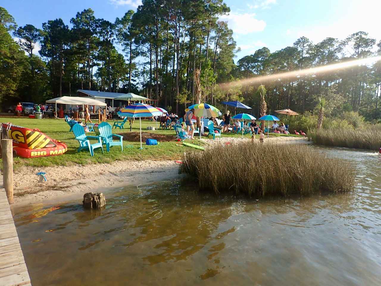
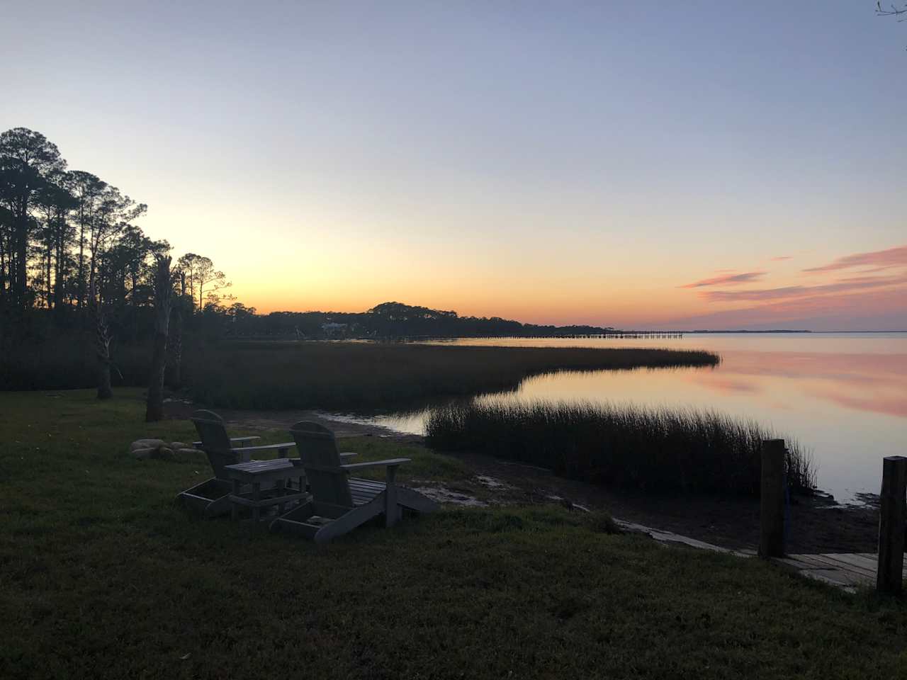
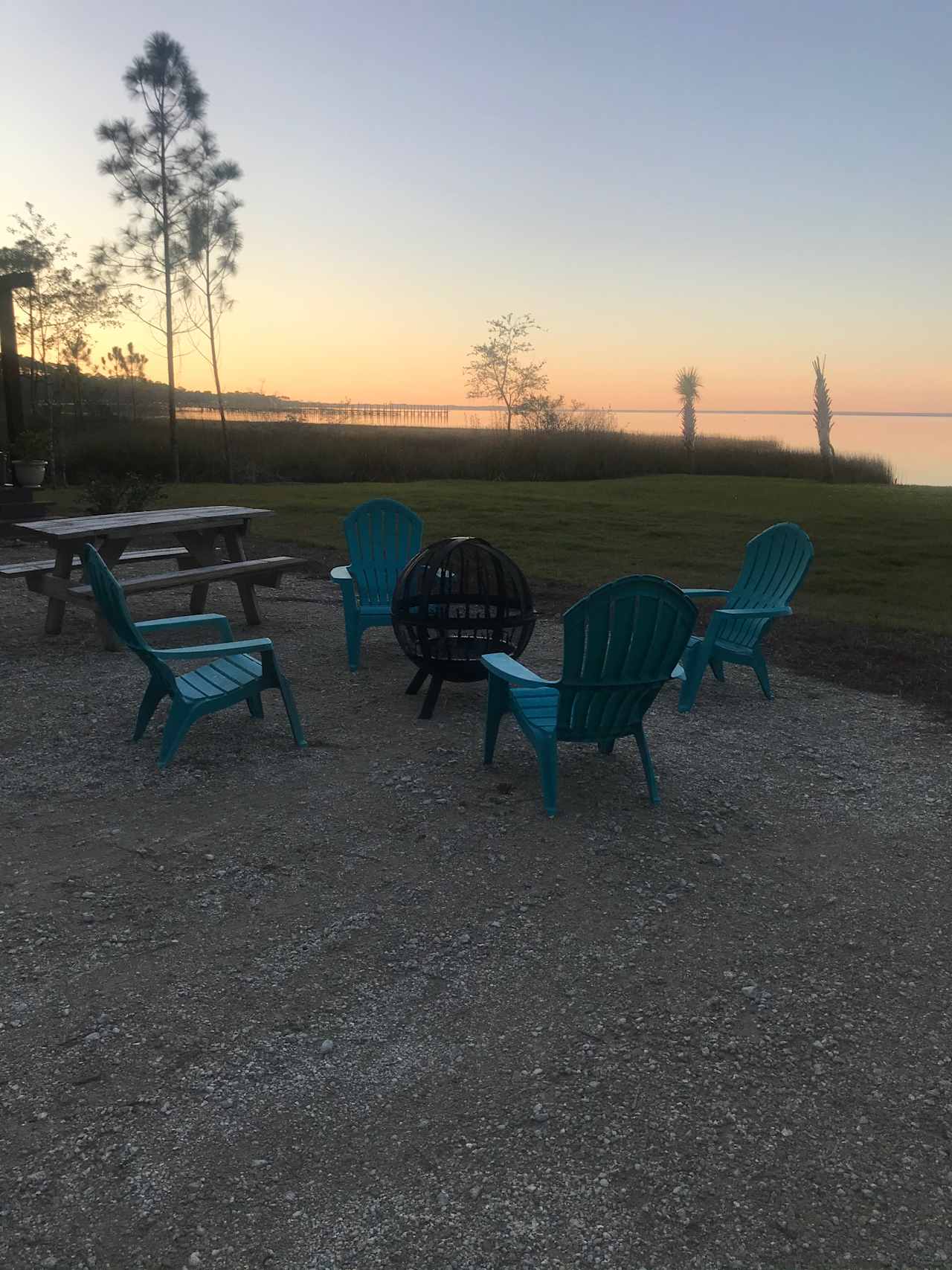
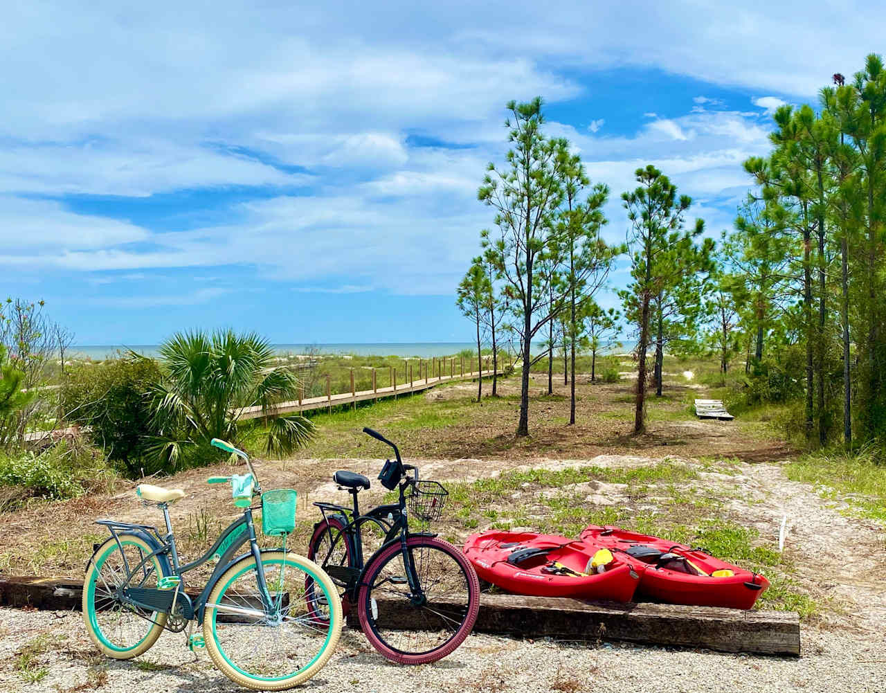
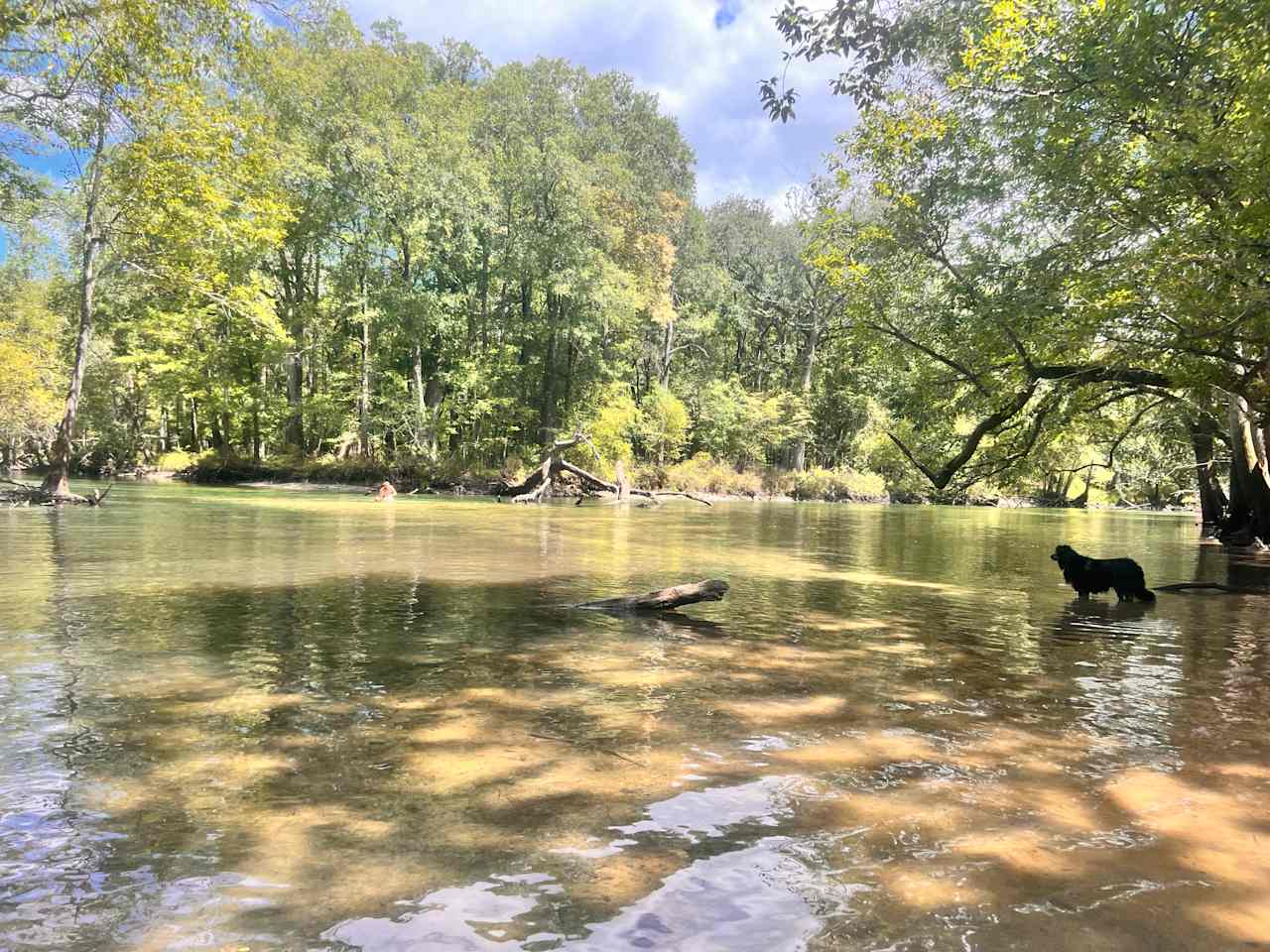
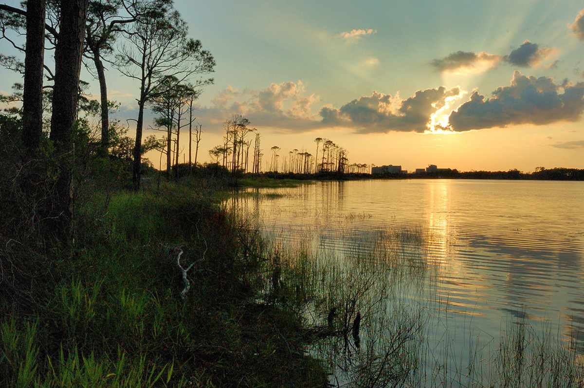
When searching for camping near Panama City, you can’t miss St. Andrews State Park. Located under thirty minutes from Panama City, this well-maintained beach park has bathrooms, showers, and other amenities. You can also bring kayaks and canoes for a chance to paddle with dolphins, and people often see deer, storks and other wildlife. Many of the RV sites here back up straight to the shore, so you’ll get to watch the sunset over the water straight from your camp chair.
Henderson Beach State Park
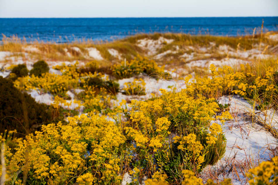
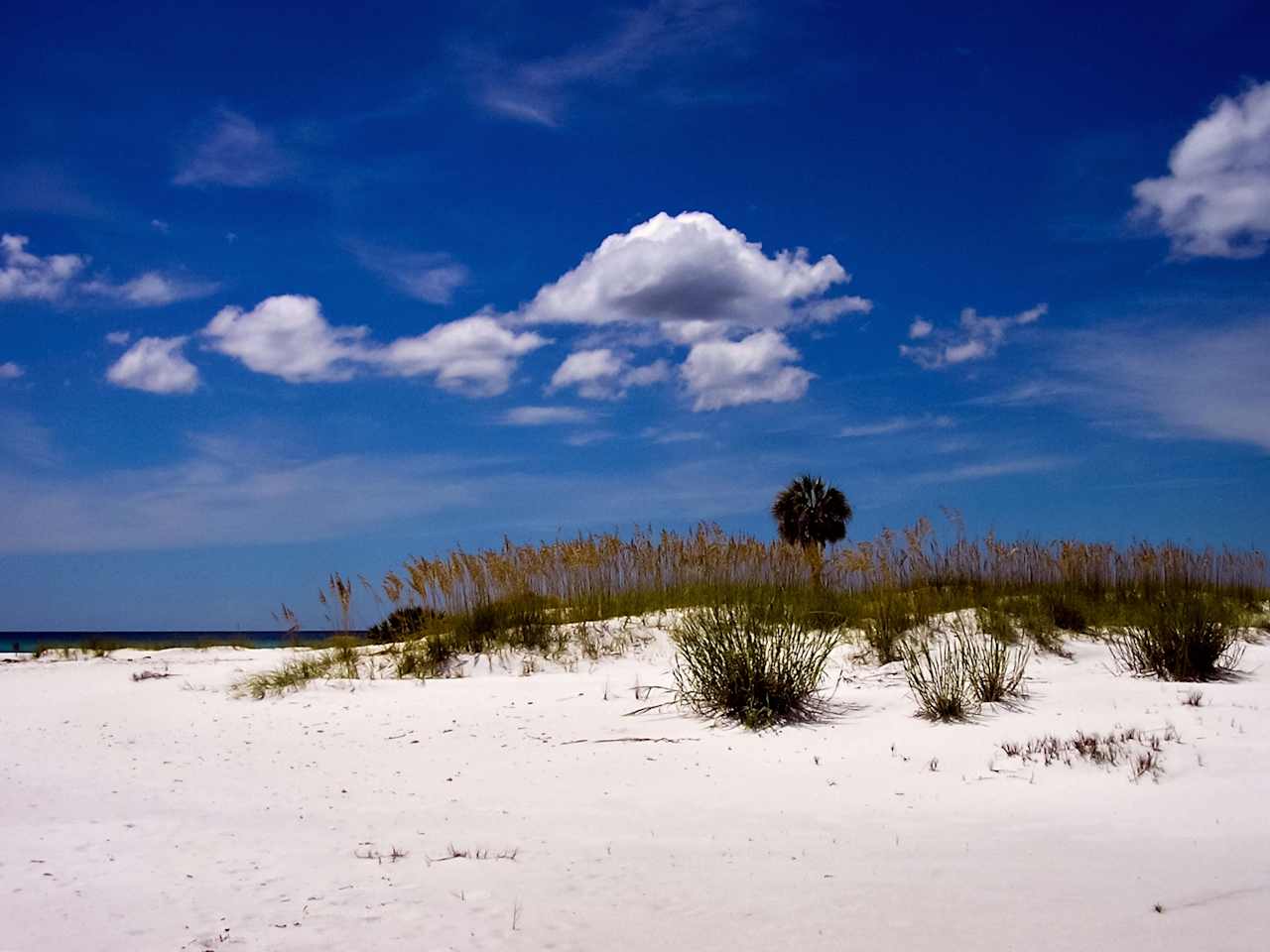
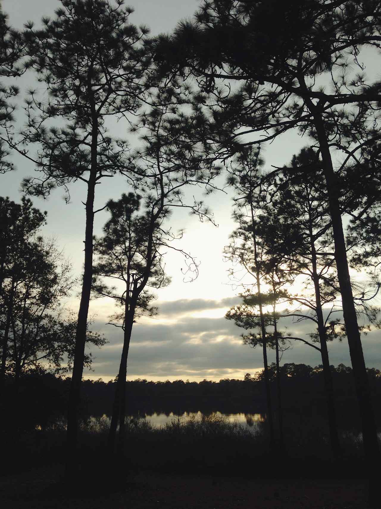
About an hour and twenty minutes from Panama City, Henderson Beach State Park is a stunning beach recreation area. With 30-foot tall, white sand dunes (which you can hike, by the way) and stunningly blue Gulf waters, you’ll love how pristine this beach is. RV camping and hiking are popular here, as are biking and wildlife viewing. Here, you’ll get a chance to experience a unique dune ecosystem, complete with rare plants you won’t see elsewhere.
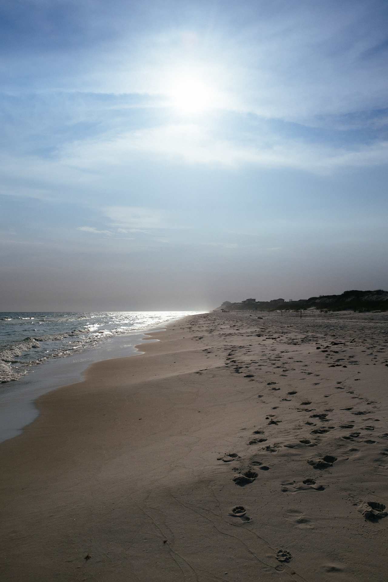
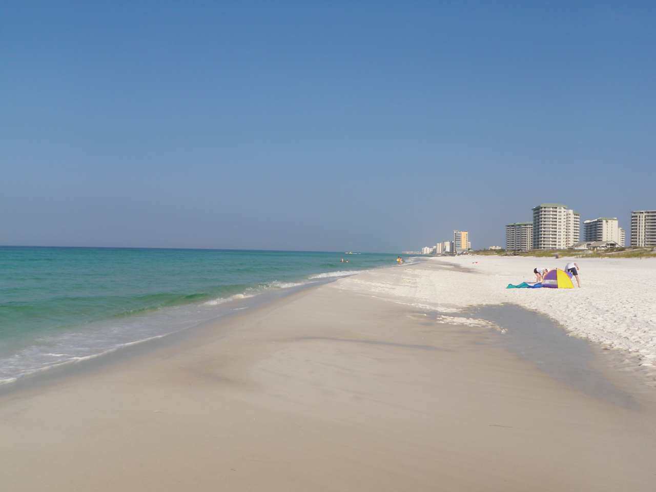
Mexico Beach
If you want to explore your RV park options, Mexico Beach has plenty. Only a half-hour drive from downtown Panama City, Mexico Beach has pure quartz sand, making it whiter than most other Florida beaches. Mexico Beach stretches for about five miles and doesn’t use lifeguards, since the beaches are often quite safe for swimming. This is a nesting ground for sea turtles, so you can get a chance to see them if you go between May and October. A stroll down the canal boardwalk can offer sights of the area’s nautical traditions.
When to go
This part of Florida is always nice to visit, but temperatures can get quite high in July and August, so you might prefer to camp outside of the peak summer. Additionally, spring breakers can crowd the city in late March to early April, though they usually won’t venture to the camping areas. January and February are great times to go, especially if you’re escaping a cold winter somewhere else.